Ottawa River Flooding Reaches Minor Levels in Pembroke as Gatineau Shares Emergency Preparedness Steps
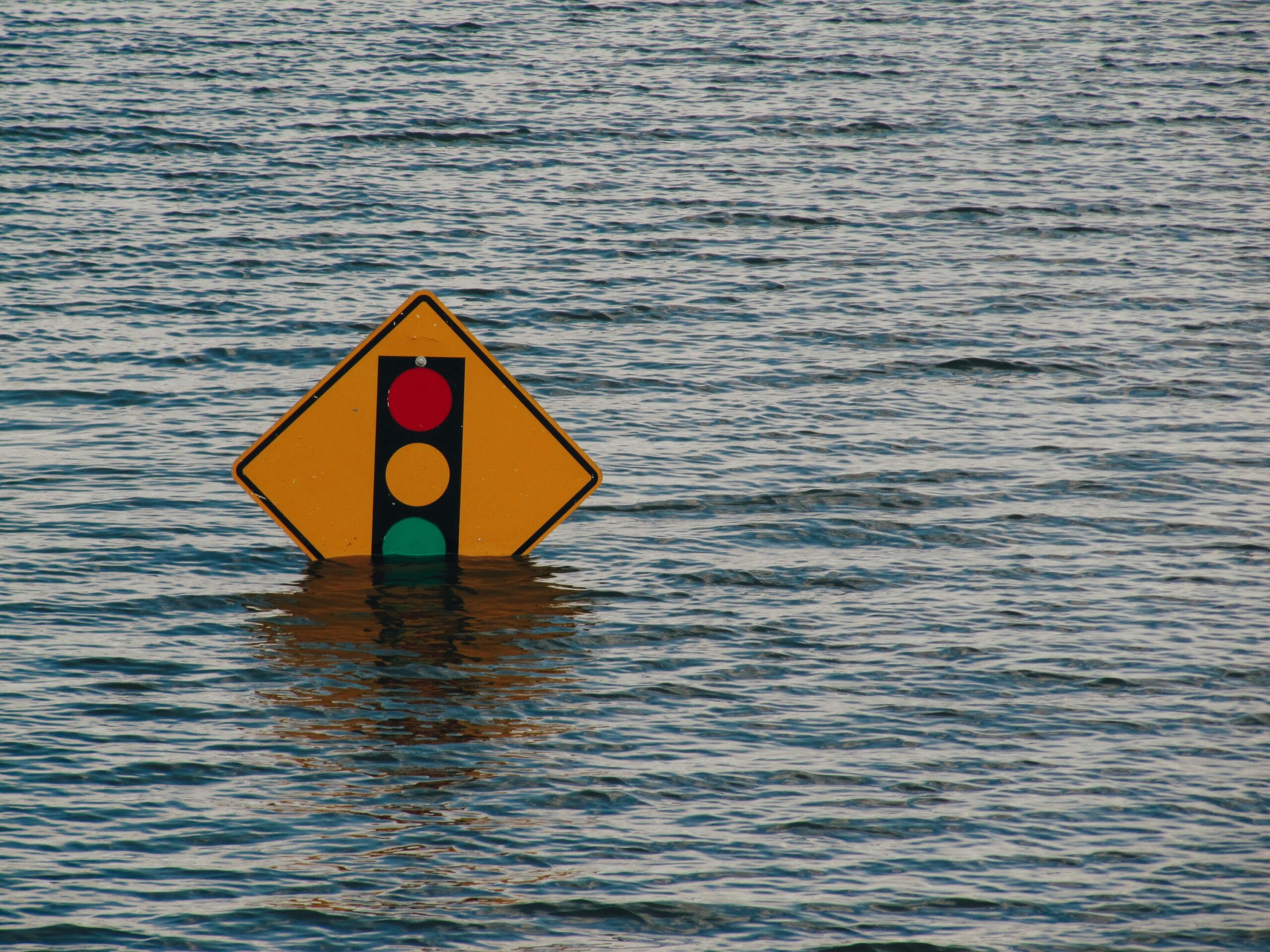
Water levels along the Ottawa River are continuing to climb, with minor flooding now confirmed in Pembroke, Ontario, while officials warn that major flooding cannot yet be ruled out in some downstream areas over the coming days. Communities across eastern Ontario and western Quebec are actively monitoring the situation as rainfall, snowmelt, and rising river flows increase pressure on waterways.
Minor Flooding Confirmed in Pembroke
The City of Pembroke says the Ottawa River has already reached minor flood levels, meaning that parts of local streets, lawns, and parks may become flooded, though only a limited number of buildings are likely to be affected at this stage. Officials say the river is expected to continue rising slowly over the next few days.
The city noted that local rainfall totals could reach up to 30 millimetres by Sunday, adding to the runoff already flowing into the river system. This combination of rain and snowmelt from northern areas is pushing water levels higher across the region.
Major Flooding Still Possible in Parts of the Ottawa River
The Ottawa River Regulation Planning Board has warned that while current conditions vary by location, major flooding remains possible within the next week, especially between Arnprior and Cumberland. Major flooding is more serious and can affect multiple streets, homes, and buildings.
The Ottawa River has previously reached major flood levels in 2017, 2019, and 2023, highlighting the seriousness of the current situation. Officials say this week’s rain and rapid snowmelt much farther north are the key reasons behind the swift rise in water levels.
Water Level Forecasts Across Key Locations
According to the latest water level updates issued Wednesday afternoon, several locations along the Ottawa River are expected to approach or challenge historic seasonal highs.
- Pembroke was measured at around 112.5 metres above sea level and is expected to rise to 113.1 metres by Saturday, which would place it roughly 22 centimetres below the record high for that date.
- Fort-Coulonge was around 107 metres and is forecast to reach 108.3 metres by Saturday, which would set a new record high.
- Arnprior was measured at approximately 74.7 metres and could reach 75.4 metres by Saturday, about half a metre below the record high for that day.
- Britannia was at roughly 59.2 metres and may rise to nearly 60 metres, placing it about 25 centimetres below the daily record.
- Hull was at around 42.9 metres and is expected to climb to 43.9 metres by Saturday, just nine centimetres below the record high.
- Thurso stood at approximately 42.1 metres and could increase to 42.5 metres, around 22 centimetres below the record level for that date.
These projections show how widespread the river rise is across multiple communities.
Flood Risks Extend Beyond Pembroke
The Rideau Valley Conservation Authority said Thursday morning that major flooding could occur between Arnprior and Britannia over the weekend, with the potential for flood impacts downstream from Britannia starting Monday.
Residents living in flood-prone areas are being urged to take preventative steps now. Authorities recommend checking:
- sump pumps
- generators
- downspouts
- culverts
People are also advised to secure items outdoors that could float away if floodwaters rise.
Other Waterways Also Being Watched
Flood concerns are not limited to the Ottawa River alone. In southern parts of eastern Ontario, Cataraqui Conservation has extended its existing safety advisory and is urging the public to remain cautious around dams, fast-flowing rivers, and other watercourses.
Residents are being told to obey warning signs and avoid booms, buoys, and barriers. Although some low-lying areas are already experiencing inundation, the conservation authority says widespread flooding is not currently expected in its region.
In Quebec, the provincial flooding information map shows minor flooding in Ripon linked to the Petite Nation River. Officials are also closely monitoring the Rouge River near the rue Walker bridge, along with the Ottawa River itself.
Across eastern Ontario’s more southern conservation authority areas, there are also water safety statements and flood watches in effect. A flood warning remains the highest level on that advisory scale.
More Rain Expected Across the Region
Environment Canada says the wider region can generally expect another 15 millimetres of rain on Thursday, which may worsen local conditions and contribute to already rising river levels. Continued rainfall on saturated ground can quickly increase runoff and place further strain on rivers, streams, and drainage systems.
Sandbags Available in Several Communities
Municipalities across the region are making sandbags available to residents as a precaution.
In Pembroke, residents who need sandbags can contact the city’s operations department at 613-735-6821.
In Ottawa, sandbags are currently being offered at 14 locations, and officials are encouraging people to take any necessary steps to protect their properties from possible flooding.
Barrhaven West Councillor David Hill said the city is taking the situation seriously and is closely monitoring conditions, particularly in areas near the Jock River. He indicated that if risks intensify, the city is prepared to respond.
Gatineau Shares Flood Preparation Plans
The City of Gatineau also issued an update Thursday morning, saying it is keeping a close watch on around 20 roads near the river. The areas under particular attention include Aylmer, Hull, Gatineau, and Masson-Angers.
Officials warned that some roads in these sectors may be partially or fully closed, depending on how conditions evolve.
To support residents, firefighters will go door-to-door in vulnerable areas to provide assistance, answer questions, and help people understand what preparations may be needed.
Gatineau also announced sandbag distribution points:
- 5 rue Louis-Roy in Aylmer starting at 11 a.m.
- 745 boulevard Maloney Est in the Gatineau sector starting at 4 p.m.
Flood Preparedness Remains Critical
With Ottawa River water levels rising quickly and additional rain still expected, communities across Ontario and Quebec are entering a critical period for flood preparedness. While some areas are currently dealing with minor flooding, the possibility of major flooding in more vulnerable stretches of the river means residents should stay alert, follow official updates, and take action early where needed.
The coming days will be especially important as authorities continue tracking river levels and assessing whether conditions worsen across the region.
Also Read About: 19 Ottawa Restaurants Proving You Can Still Eat Well for $20 or Less Despite Inflation